Select the type of fish and the time period, the tool automatically renders the data
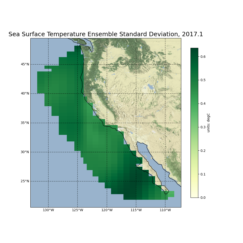
This tool provides the insights of the variation of fish through time versus the geographical location.
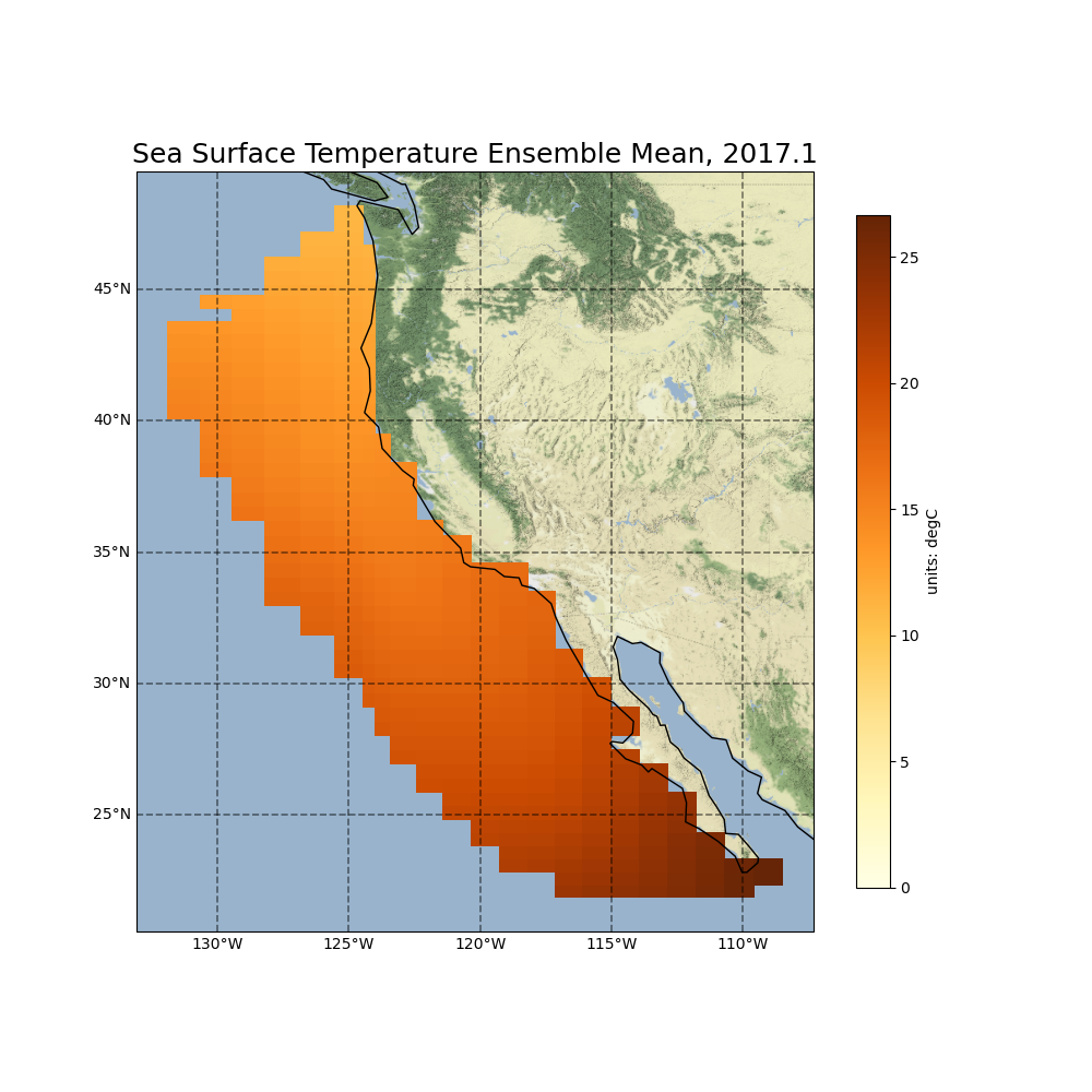
Select the type of fish and the time period, the tool automatically renders the data
This tool provides the insights of the variation of fish through time versus the geographical location.
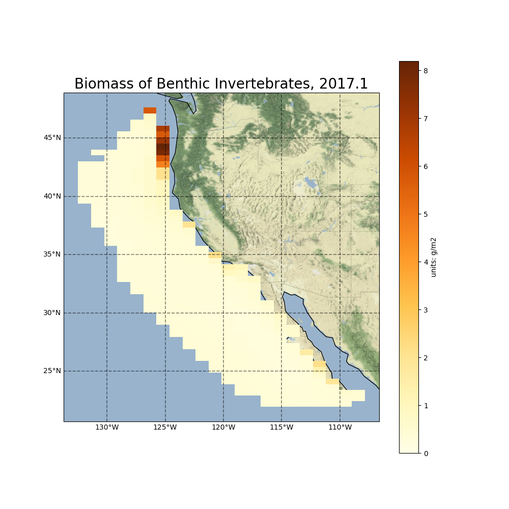
Biomass gives an idea of the total mass of organisms(here fish) living in that area. Our tool visualizes the biomass of the fish in the map, the light color indicates less fish and the darker color denotes more fish. It's units are grams per square meter(g/m2 or GSM)